
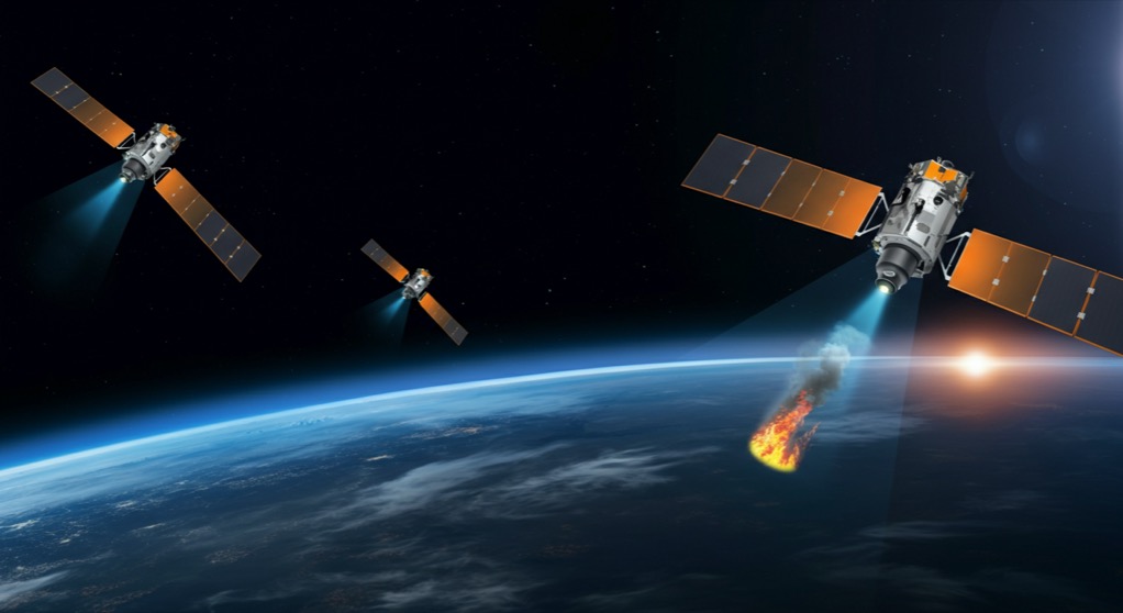
What if you could spot a wildfire when it is still the size of a classroom, before it becomes a headline-grabbing megafire that burns tens of thousands of acres? That is exactly what the first three operational FireSat satellites now orbiting Earth can do. Launched on July 7, 2026, aboard a SpaceX Falcon 9 rocket from Vandenberg Space Force Base, the satellites carry AI-powered computer vision that detects fires other satellites miss by an order of magnitude. The system can identify a blaze as small as 10 to 15 feet across from low Earth orbit, while conventional wildfire satellites only register fires larger than a football field. For a continent choking on wildfire smoke, the difference between early detection and late discovery can mean saving homes, forests, and lives.
The FireSat constellation is managed by the Earth Fire Alliance, a nonprofit organization that has partnered with Google to make the project possible. Google contributed $13 million in seed funding plus its AI and machine learning expertise to build the image analysis pipeline. After a three-month testing period beginning in October 2026, the satellites will begin actively sending detection data to firefighting agencies across the United States, Australia, and Europe. The full constellation of more than 50 satellites is expected to provide near-real-time global coverage by 2028.
How the AI Detection System Works
FireSat's core innovation is not a bigger satellite or a more powerful camera. It is the AI software running onboard and on the ground. Traditional wildfire satellites use moderate-resolution thermal sensors that can only detect fires once they have grown large enough to produce a strong enough heat signature. FireSat takes a different approach: it uses high-resolution optical imagery combined with a computer vision model trained specifically to detect small smoke plumes and subtle heat signatures that look like noise to generic image analysis algorithms.
The AI model was trained on thousands of hours of historical satellite imagery of wildfires at every stage, from initial spark to full burn. Google DeepMind's research team contributed expertise in fine-tuning the model to reject false positives from clouds, reflections, and industrial heat sources such as factories and power plants. The result is a detection system that can identify a campfire-sized ignition source from orbit and raise an alert within minutes, not hours.
The satellites operate in a sun-synchronous low Earth orbit, passing over the same locations at consistent times each day. This repeat pass pattern allows the AI to compare consecutive images of the same area and flag new smoke or heat signatures that were not present in the previous pass. The change detection model is the secret sauce: it ignores everything that looks the same and focuses only on what has changed since the last overflight.
Why Conventional Satellites Miss Small Fires
The gap in current wildfire detection is striking. The most widely used wildfire monitoring satellites, such as NASA's MODIS and VIIRS instruments, have spatial resolutions of 250 to 375 meters per pixel. A fire has to be burning across an area roughly the size of an American football field before it registers as more than a single pixel. By that point, the fire may have been burning for hours, and in dry, windy conditions, that head start is all it needs to become uncontrollable.
FireSat's cameras capture imagery at a resolution of roughly 3 to 5 meters per pixel, a 50x to 100x improvement in granularity over existing systems. At that resolution, a fire the size of a classroom covers multiple pixels, giving the AI model enough signal to classify it confidently. The tradeoff is coverage area: higher resolution means each satellite covers a narrower swath of ground per pass. That is why the full constellation of 50 satellites is necessary to achieve frequent revisit times across fire-prone regions.
For context, the current gap in wildfire detection is a major reason why fires that start small routinely grow into megafires. In California alone, the 2025 wildfire season saw several fires that were reported by civilians before any satellite detected them. FireSat directly addresses this blind spot by bringing satellite detection down to the scale where fires can still be contained by a single crew.
The Public-Private-Philanthropy Model That Made It Happen
FireSat is a textbook case of a funding structure that AI founders should study closely. Google did not build the satellites or operate the constellation. Instead, the company provided $13 million in seed funding through its philanthropic arm, contributed AI engineering talent to build the detection model, and supplied launch support to get the first three satellites into orbit. The Earth Fire Alliance owns and operates the constellation. Firefighting agencies are the end customers, receiving data at no cost through a public service agreement.
This model splits the work along lines of comparative advantage. Google brings AI expertise and capital. Earth Fire Alliance brings domain knowledge about wildfire management and relationships with firefighting agencies. SpaceX provides launch services at commercial rates. No single organization bears the full cost or risk, and the output is a public good that no market incentive alone would have produced quickly enough.
For founders building AI products aimed at climate tech or disaster response, the FireSat model offers a template. Identify the partner who has the data and the domain expertise. Find the philanthropic or government funder who wants the outcome. Build the AI layer that makes the system work better than anything that existed before. The sum is greater than the parts, and the barrier to entry is lower than building everything yourself.
Key Lessons for Founders
FireSat validates several strategic principles that apply directly to AI startups. First, narrow AI beats broad AI every time in real-world applications. FireSat's computer vision model was trained to detect exactly one thing: small wildfires from orbit. It does not need to recognize cats, cars, or faces. That focus is what lets it outperform general-purpose satellite imagery analysis by a wide margin.
Second, early detection AI creates asymmetric value. Catching a fire when it is 15 feet across costs a fraction of what it costs to fight the same fire when it has grown to 500 acres. The same principle applies to AI in healthcare (early disease detection), infrastructure monitoring (crack detection before bridge failure), and industrial safety (gas leak detection before explosion). The earlier the signal, the higher the ROI.
Third, public-private-philanthropy partnerships can work for AI products that serve a clear public good. The FireSat model shows that you do not need to be a defense contractor or a giant corporation to participate. A focused nonprofit with a clear mission, combined with AI expertise from a tech partner and launch services from a commercial provider, can deliver something that none of them could build alone.
Finally, the three-month testing period starting October 2026 is a reminder that deployment matters as much as detection. FireSat will spend 90 days validating its alerts against ground-truth reports from fire agencies before going fully operational. AI founders should build similar validation bridges: no matter how good your model looks in testing, real-world deployment with real users is the only test that counts.